Terrain Classification for Autonomous Ground Vehicles Using Proprioceptive Sensors
Proprioceptive sensors enable terrain classification when vision fails in harsh conditions.

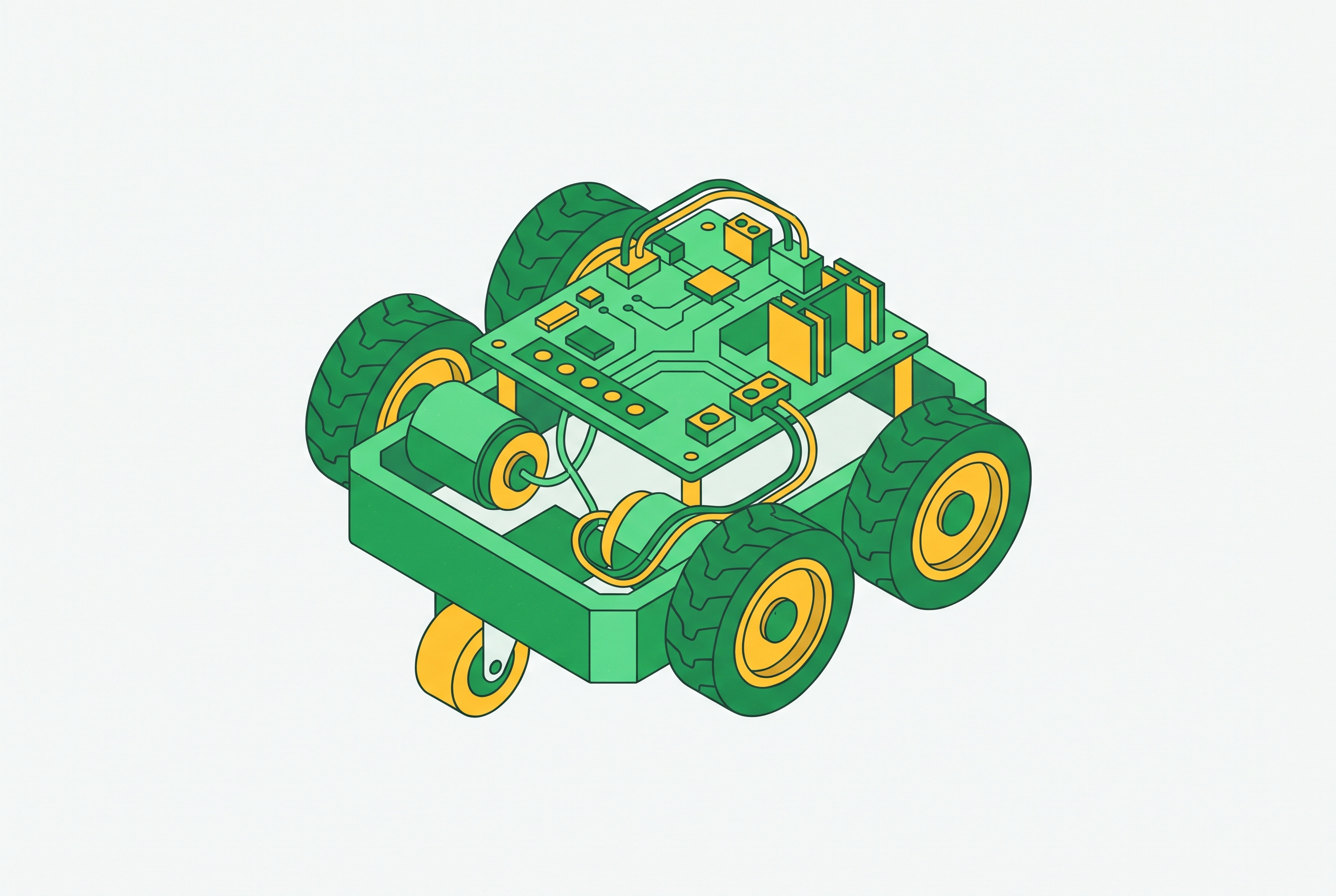
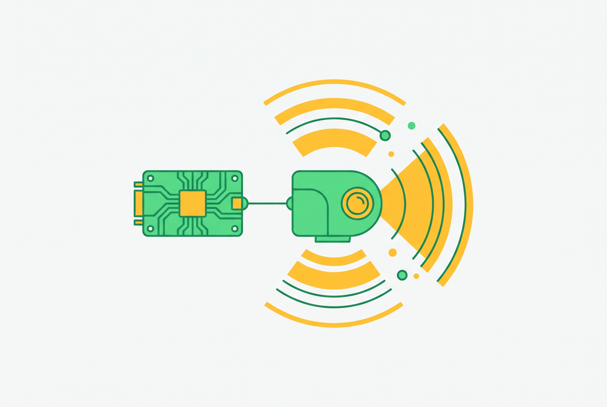
Terrain classification for autonomous ground vehicles using proprioceptive sensors turns the vehicle’s response to ground contact into information for motion control. IMUs, wheel encoders, and motor current sensors remain useful when poor visibility disrupts cameras and LiDAR. These sensors directly measure how terrain affects the vehicle, but they need contact with the ground, so confidence-aware fusion is a practical way to classify terrain reliably and give advance warning.
Why terrain classification sits between sensing and motion planning for autonomous ground vehicles
Terrain classification is the perceptual bridge between raw measurements and motion decisions. A terrain label informs gait frequency and foot placement for legged robots, torque limits and speed caps for wheeled vehicles, and energy-optimal path selection. The wrong motion strategy can cause slip or rollover. A strategy suited to compacted soil may therefore be unsafe on ice or silty loam.
The output need not be a semantic category such as grassland or gravel. Zhang et al. (2025) argue that physical feature labels describe broader terrain attributes, including roughness, slippage, softness, and slope. These attributes link more directly to the controller parameters. In autonomous forestry, arctic logistics, planetary exploration, and underground mining, that connection must survive varied terrain and hostile operating conditions. The classification pipeline can function there only if its sensing modality works under those conditions.
Where cameras and LiDAR lose reliable ground truth
Cameras and LiDAR provide rich context before ground contact, but field conditions can degrade their observations. Darkness, shadows, and sun glare disrupt appearance-based camera classification, while working in fog or at night calls for more hardware or more complex algorithms. LiDAR has a different environmental vulnerability. Heavy precipitation, dust, and blowing snow scatter returns and reduce point-cloud density just as surfaces may be changing through ice formation or snow accumulation. Radar and ultrasonic sensors also face range and resolution limits in cluttered off-road geometry.
These weaknesses do not make remote sensing dispensable. Deepal et al. report 91.78% daytime accuracy from decision-level fusion of CNN and SVM outputs using a camera and 1D LiDAR, emphasizing low-cost sensing and independence from robot design. However, surface appearance does not directly measure stiffness, slipperiness, or compliance. Even with better calibration, the sensor still needs a clear measurement path to the ground. Proprioceptive sensing avoids that dependence by reading terrain through the vehicle’s own dynamics, so atmosphere and occlusion do not break the measurement chain.
How proprioceptive sensors read terrain through vehicle dynamics
An inertial measurement unit records the body acceleration, angular velocity, and vibration that come from contact with the ground. Roughness, slope, and softness affect these responses, making their magnitude and character informative about terrain. Wheel encoders provide a complementary view through rotation and odometry. Discrepancies between commanded motion and measured wheel behavior provide slip-related signatures, while motor current varies with the torque demanded by rolling resistance and terrain compliance. Softer or looser ground can therefore leave a measurable current signature.
Foot-mounted force or touch sensors respond directly to interactions associated with friction and compliance, although they add hardware complexity. Joint torque also records dynamic leg–terrain interaction. These measurements originate in the body or drivetrain rather than an optical path, preserving access to ground-response information when illumination or visibility deteriorates. Their limitation follows from the same mechanism, because a wheel or foot must touch the terrain before its response can be measured.
Extracting terrain-informative features from raw proprioceptive signals
Feature extraction picks out patterns in raw sensor streams that help identify terrain. Time-domain statistics such as mean and median describe average body orientation and tilt associated with slope and compliance. For legged robots, multi-axis IMU coverage captures vertical roughness responses, pitch and roll changes, and lateral disturbances rather than reducing the interaction to one direction. Each axis contributes a different physical view. Encoder and current channels complement this body-motion information with evidence of wheel behavior and drivetrain load.
Frequency-domain representations show how much vibration energy there is at each oscillation rate. A discrete Fourier transform exposes dominant vibration modes, while a short-time Fourier transform produces a spectrogram showing how frequency content changes over time. The latter converts a one-dimensional signal into a two-dimensional representation suitable for convolutional processing, borrowing a technique used in speech recognition. Ice and silty loam can produce different spectrograms because their contact effects generate different vehicle responses.
Longer windows improve spectral resolution and can improve classification, but they delay the resulting label. Hand-crafted features also encode assumptions about which responses distinguish terrain, making them useful in controlled settings but potentially restrictive on unfamiliar surfaces. Feature quality therefore depends on physical relevance as well as statistical separation. This dependence motivates models that learn useful representations rather than relying entirely on expert-selected summaries.
How machine learning pipelines turn proprioceptive features into terrain labels
Support vector machines established a low-compute baseline for proprioceptive classification. Hexapod systems using force and IMU features achieved strong results across a small terrain set with an interpretable, feature-driven approach. The cost was careful feature engineering. When new surfaces change the relevant signal patterns, the feature set may need redesign even with more training examples.
Deep learning puts more of that work into representation learning. A 1D-CNN takes raw or lightly processed sequences and learns short, local patterns, which helps convolutional models work well on smaller datasets. The BorealTC study found CNNs stronger than Mamba on individual datasets. LSTMs capture longer temporal dependencies, including terrain responses that evolve over multiple gait cycles, and Korkmaz et al. (2026) use this architecture for hexapod IMU features.
CNN-LSTM hybrids combine local feature extraction with sequence modeling. A 2021 vibration-only terrain classification study reported its strongest F1 performance with this combination, illustrating the value of retaining temporal context after extracting local patterns. Temporal convolutional networks are another way to model sequences. A 2026 quadruped study published in Sensors applies a TCN to frequency-domain joint torque for real-time classification without visual input. Together, these approaches extend the convolutional baseline to interactions that cannot be described by isolated signal fragments.
Mamba uses a state space architecture for selective long-sequence modeling. BorealTC found that it surpassed CNN performance when training combined datasets, despite the reverse result on individual datasets. Scale changes the architecture trade-off. Practitioners therefore choose among convolutional, recurrent or hybrid, and state space approaches in relation to both temporal structure and training coverage.
The output design is a separate choice from the sequence model. Zhang et al. use a CNN to predict roughness, slippage, softness, and slope simultaneously rather than forcing every observation into one semantic category. They also supply motion commands as auxiliary inputs. That context helps tell changes caused by terrain apart from those caused by the robot’s own motion, so the learned representation is more directly useful for locomotion control.
What real deployments reveal about dataset design and domain transfer
BorealTC, recorded at Université Laval in 2024 using a Clearpath Husky A200, combines IMU, motor current, and wheel odometry measurements from snow, ice, and silty loam. Its sensor combination reflects a wheeled platform operating in boreal forest terrain. Dataset design is therefore inseparable from deployment design. The recorded surfaces and available channels define which interactions the model can learn, while the contrast between individual and combined training sets exposes the influence of data coverage on architecture performance.
Rose et al. (2025) at the University of Nevada Reno approach field data through stability estimation. Their lightweight IMUnet predicts platform stability from IMU measurements and robot velocity, using a C3 score derived from vision-based ArUco marker tracking as its training target. Vision supplies training-only supervision. This avoids reliance on physics-based stability metrics such as SSM and ZMP, whose required contact forces and precise center-of-mass measurements are difficult to obtain in the field.
The quadruped work by Zhang et al. gives a third lesson in design by using physical attribute labels along with motion commands. These choices address different sources of ambiguity from those in the wheeled stability task. Platform transfer is not automatic. Motor-current features from a wheeled vehicle do not map directly onto hexapod foot-force signals, and training at a fixed gait frequency on dry surfaces does not establish reliability on wet floors, flowing sand, or snow.
The reactive-latency problem and why proprioception alone has a structural ceiling
Pure proprioception needs contact with the ground before it can give a warning. Slowing before an ice patch or widening a stance before soft soil requires information that exists before the new surface perturbs the vehicle. Even a faster classifier must wait for this contact. For a high-speed wheeled vehicle, the interval between first contact and corrective actuation can represent meaningful displacement across dangerous ground, with signal-window duration adding to the delay.
Recognition also depends on what the model has learned. Under a closed-world assumption, the model gives an unfamiliar surface a known label without warning that the surface is new. Sparse proprioceptive measurements create a further ambiguity. Two types of compacted gravel may have similar vibration profiles, so even when measurements are available, they may give too little evidence to tell the types apart reliably.
Proprioception remains valuable despite these constraints because it measures the vehicle’s actual response. The engineering requirement is to extend that evidence with anticipation and explicit uncertainty rather than replace it with a visibility-dependent alternative. Fusion is the natural response. It can retain contact-based robustness while using other modalities where they provide information that internal sensors cannot.
Fusion architectures that extend proprioceptive robustness with look-ahead capability
TerraFusion (2025), published in IEEE Robotics and Automation Letters, uses pretrained visual features to supervise proprioceptive representation learning through contrastive learning. At deployment, a Bayesian decision principle weights each modality by confidence, allowing the proprioceptive branch to dominate when vision degrades. Unlike decision-only fusion, this design shapes the proprioceptive representation during training and reduces dependence on labeled terrain datasets.
IMUnet applies the same supervisory principle to stability prediction. Its vision-derived training target supports proprioceptive runtime scores that can gate precision sensing or mobile manipulation. The distinction between supervision and anticipation is important. A contact-based runtime model trained with vision still has to wait for ground contact, but a visual branch available at runtime can give it a view of the ground ahead.
A 2026 acoustic-fusion study in Sensors offers a lower-cost complementary modality. Adding microphone features improved classification over an IMU baseline, with longer observation windows improving peak performance at the cost of additional latency, while contact timing remained a constraint. The same study used semi-supervised learning with GRU-based temporal modeling and required annotations for only a quarter of the IMU data, addressing the labeling burden as well as sensor coverage.
Confidence connects these architectures to safe actuation. The DFKI AsguardIV work uses Bayesian neural networks to produce uncertainty with the terrain label, allowing low-confidence outputs to trigger fallback behavior or additional exteroceptive observation. A label alone hides that distinction. Full multimodal fusion can improve controlled-condition accuracy but reintroduces environmental failure modes, while confidence-weighted fusion supports graceful degradation when one modality becomes unreliable.
Choosing a proprioceptive terrain classification approach for a specific deployment
Wheeled vehicles have a natural baseline in IMU, motor current, and wheel odometry, with BorealTC providing a documented outdoor example. Quadrupeds can add frequency-domain joint torque and controller-facing physical attribute outputs. Hexapods can use body-orientation features with an LSTM where low hardware cost is important, following Korkmaz et al. The platform determines the useful evidence.
Dataset scope should then guide architecture selection. A CNN baseline is a good starting point for smaller datasets from a single environment, while combined terrain domains call for testing Mamba-class models because the same ranking may no longer hold. Where labels are scarce, semi-supervised GRU methods or vision-supervised contrastive learning can reduce annotation demands. Training coverage must match operating coverage. Wet or icy surfaces, variable speeds, and changing gait frequencies belong in the training data when they are part of the deployment.
Safety-critical systems should favor classifiers that report uncertainty, with clear confidence thresholds or an added unknown class for terrain they have not seen before. Where advance adaptation is required, the proprioceptive core needs complementary runtime look-ahead information even when vision supplies training supervision. Microphones are a less complex way to get more evidence for classification, but they cannot be assumed to give a view of the ground ahead. Terrain labels and confidence scores should go to the planner as traversability signals, so the chosen sensing and learning approach helps guide how the vehicle moves.
Sources
- Multi-sensor Data Fusion for Day and Night Terrain Type Classification
Provided the 91.78% daytime accuracy figure from decision-level fusion of CNN and SVM outputs using camera and 1D LiDAR.
- A Terrain Perception Method for Quadruped Robots Based on Acoustic Signal Fusion
Provided details on the acoustic-fusion study showing microphone features improved classification over an IMU baseline, with semi-supervised GRU-based temporal modeling.
- A Terrain Classification Method for Quadruped Robots with Proprioception
Provided details on the quadruped terrain classification study using physical attribute labels (roughness, slippage, softness, slope), motion commands as auxiliary inputs, and a CNN architecture.
- Advances and Trends in Terrain Classification Methods for Off‐Road Perception - Arafin - 2025 - Journal of Field Robotics - Wiley Online Library
Contributed background on advances and trends in terrain classification methods, including comparisons of sensing modalities and machine learning approaches for off-road perception.
- Learning to Predict Mobile Robot Stability in Off-Road Environments
Supplied details on the IMUnet model by Rose et al. at the University of Nevada Reno, including use of ArUco marker-derived C3 scores as vision-based training targets for proprioceptive stability prediction.
- Proprioceptive Terrain Classification for Hexapod Robots with Statistical and Spectral Features
Provided information on hexapod terrain classification using body-orientation IMU features with LSTM architecture and statistical/spectral feature engineering.
- Proprioception Is All You Need: Terrain Classification for Boreal Forests
Provided details on the BorealTC study including dataset design, sensor combination (IMU, motor current, wheel odometry), terrain types (snow, ice, silty loam), and CNN vs. Mamba architecture comparisons.
- Deep Learning for Terrain Surface Classification: Vibration-based Approach
Provided details on the 2021 vibration-based terrain classification study reporting strongest F1 performance with CNN-LSTM hybrids.