Drone Swarm Coordination Protocols for Large Area Survey
Coordinated flight paths and communication protocols keep drone swarms aligned.
It is not rotor count, battery life, or camera resolution that limits large-area drone survey; it is the absence of protocols that solve three problems together: how to divide the ground up, how drones talk to each other while covering it, and how each drone decides what to do when conditions change mid-flight. A single drone scales poorly once the area gets large enough, so the obvious fix is to add more drones. But adding drones without a plan for how they share the work produces its own failures: flight paths that overlap and burn battery twice over the same ground, patches of the survey area that no drone ever reaches, and data sets that look complete until someone tries to stitch them together. Patent filings across nine jurisdictions, CN, KR, US, JP, FR, IL, IT, CA, and EP, sort swarm innovation into five sub-domains: task allocation and mission planning, formation control and collision avoidance, inter-UAV communication architectures, AI-driven autonomous decision-making, and heterogeneous platform integration. That breakdown confirms that engineers working on this problem treat it as a system to design, not a part to buy. The most ambitious filings in that landscape address several of those layers at once, which is the same structure this article follows: spatial decomposition, communication, and autonomous decision-making as three interlocking layers of a single stack.
How spatial decomposition determines whether coverage is complete
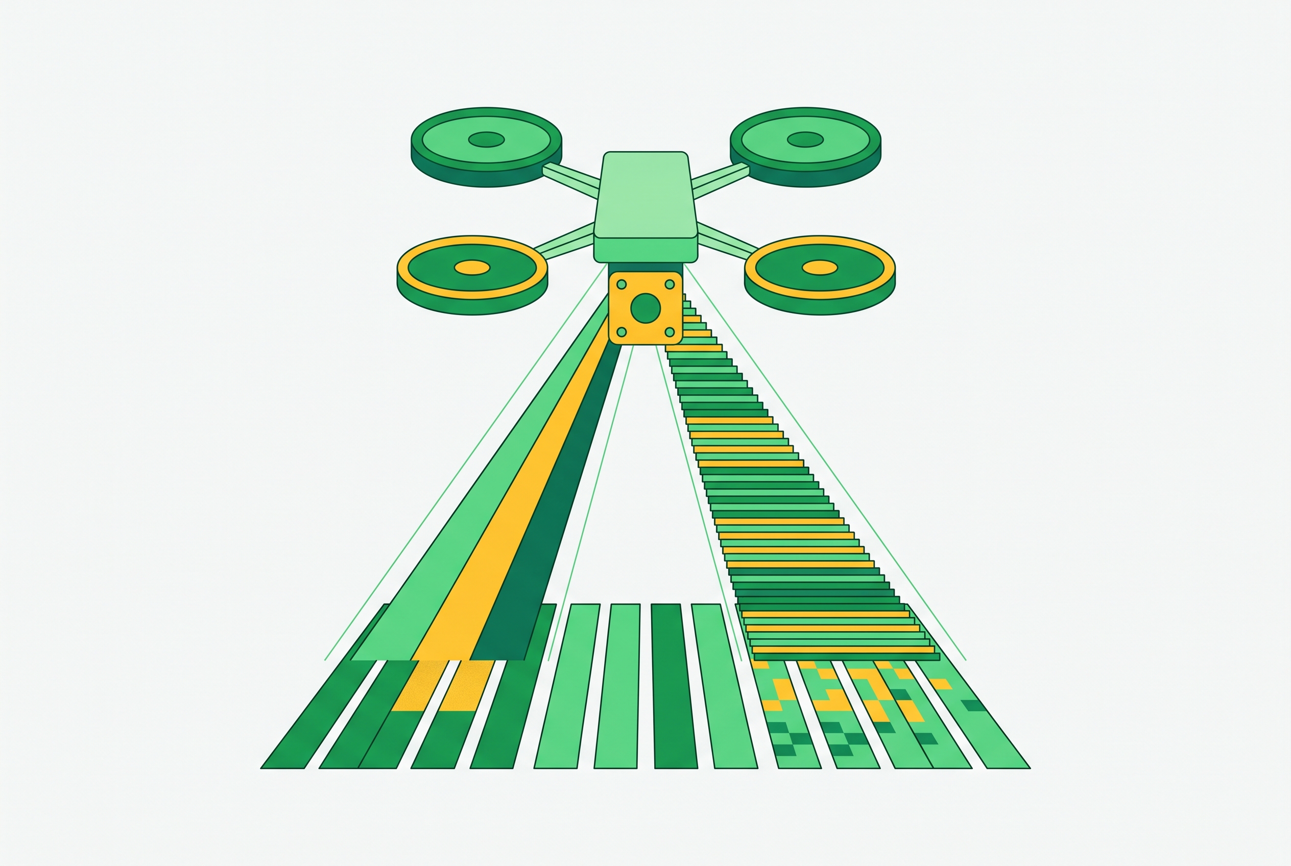
Spatial decomposition is the first layer of that stack, and it is the quietest of the three. It gets decided before any drone leaves the ground, and whatever mistakes it bakes in appear later in flight logs as wasted flight time or missed terrain that no amount of clever communication can fix. The simplest approach divides a region into a uniform grid and assigns each cell to a drone. That works until the region has real terrain in it. Capability-aware decomposition improves on the grid by partitioning the target area into convex subareas that account for each UAV's configuration and flight capability, letting drones cover their assigned pieces in parallel. Swarm-adapted versions of established strategies, Parallel, Square, LMAT, and SCAN, then generate the actual flight paths within and between those subregions. A distributed coverage path planning framework pushes this further: instead of one central planner assigning every subregion, each UAV makes its own coverage decisions from locally available information, while the overall cooperation still holds together. That distribution eases the processing load on any single node and lets the system scale to larger swarms than a centrally computed plan would allow.
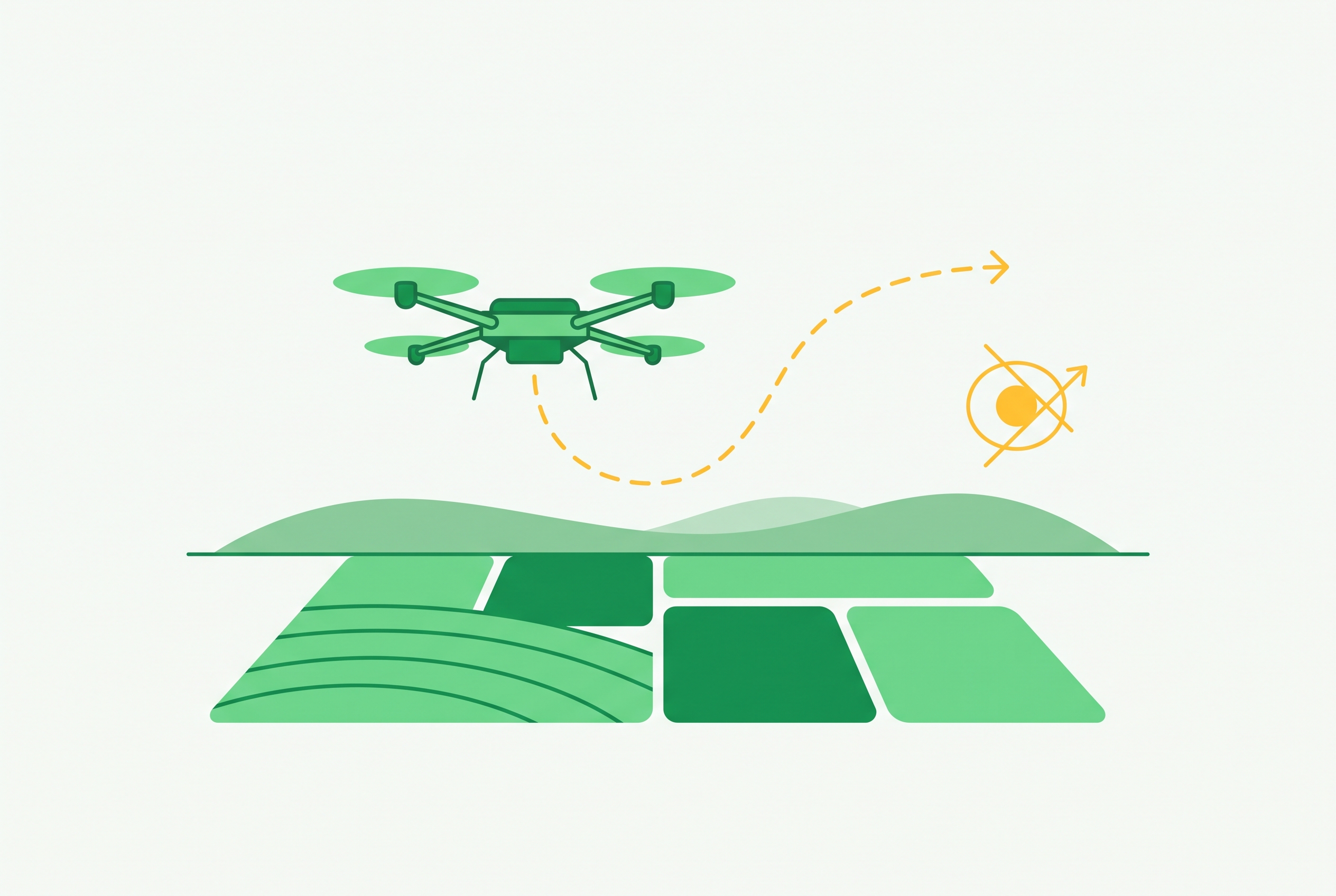
Terrain-aware partitioning is the most refined version of this idea documented so far. The CSMN study, published in Drones (MDPI, 2026), reports that convex polygon partitioning built from terrain data cuts mission flight time substantially compared to standard grid scanning, while still holding sub-meter localization accuracy. Work on scattered or non-contiguous survey zones extends the same question to irregular geography: islands of terrain separated by gaps, where a uniform grid simply fails and the partitioning method has to generate subpaths specific to each disconnected region. A operator with deep local knowledge of a site might still out-plan an automated decomposition in an environment thick with obstacles, and in small sites that may be true. But automated terrain-segmentation removes a human planning bottleneck before the mission even starts, and the benefit of that grows as the survey area grows past what one person can reasonably map by hand.
None of this guarantees a complete survey. A decomposition scheme can divide the ground perfectly and still fail if the drones carrying it out lose track of each other mid-flight, drift off their assigned subregion, or stop reporting back when a link drops. The partitioning layer sets the plan. Keeping drones coordinated enough to execute that plan in the field is a separate problem, and it is where most large-scale deployments actually run into trouble.
Communication architecture as the layer most likely to cause failure at scale
Communication architecture decides whether the coverage plan survives contact with the actual flight. Field tests show that latency between drones can climb to levels that cause real problems once the environment gets complex, and that coordination overhead does not grow in a straight line as drones are added. It grows faster than that. If every drone talks to every other drone in a flat network, that works fine for a handful of units but degrades sharply as the swarm gets larger.
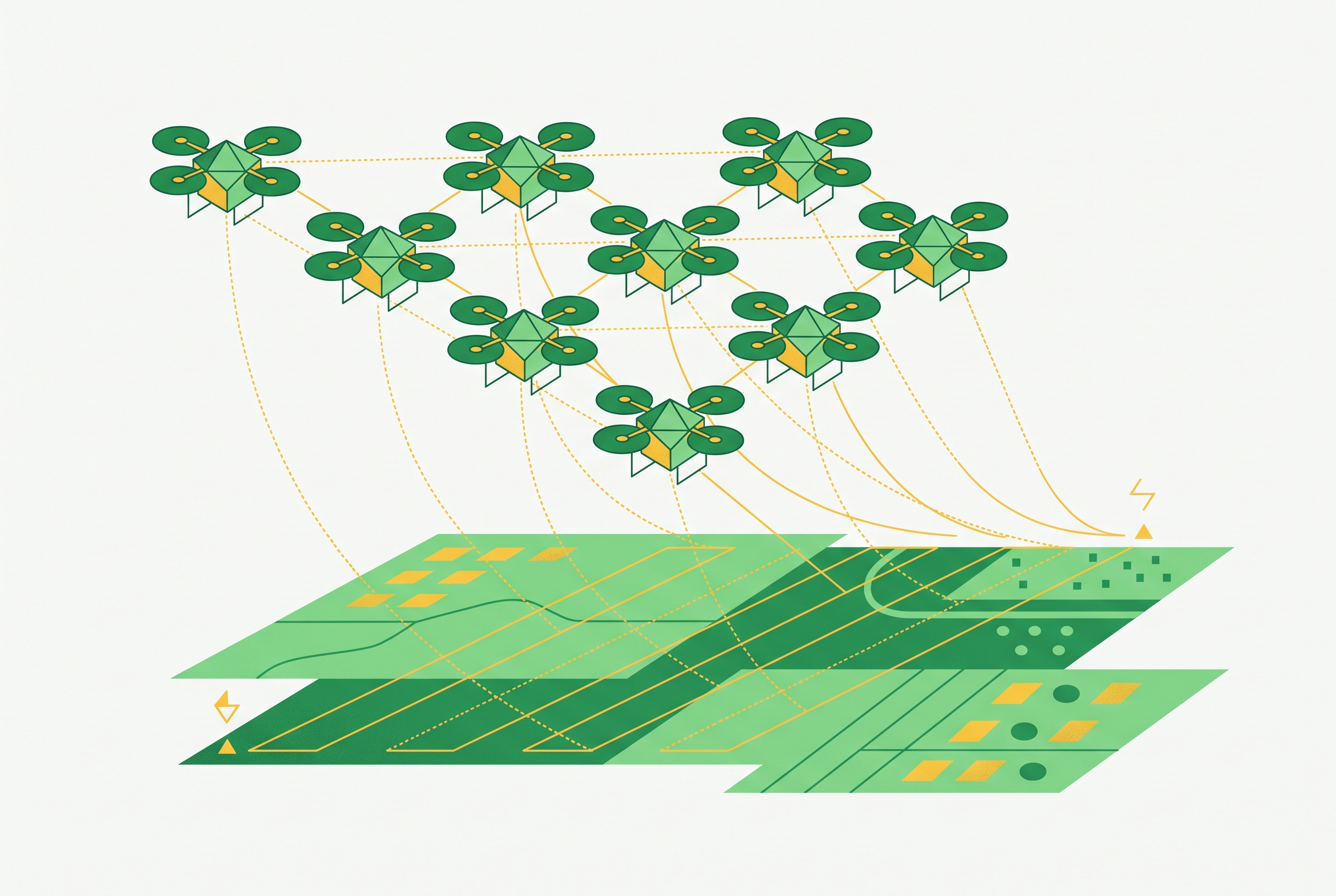
Hierarchical clustering is the standard hardware-level response to that problem. Drones are grouped into clusters, each with a master drone that communicates with a central server, while slave drones relay messages through the master. That structure cuts the number of communication channels the system needs compared to a fully connected network, and it builds in a natural repair mechanism: if a master drone goes down, a slave can be promoted to take its place, something a flat mesh network has no built-in way to do. Anduril Industries holds a 2025 patent that extends this same idea from the communication layer to the task layer: the system formalizes dynamic task-based assignment with a failure-recovery mechanism, where a server detects that a drone has failed and reassigns its tasks to another drone in the swarm, then communicates the change to the rest of the group.
The CSMN architecture, described by Wang et al. in the same 2026 Drones (MDPI) paper, tackles communication dropout directly by alternating between two modes: an implicit silent mode and an explicit coordinated mode where one drone leads and others follow, governed by distributed Extended Kalman Filters. That switching mechanism cut localization error (RMSE) from 15.42 meters down to 0.85 meters, and it brought the collision rate to zero in testing. GPS-denied conditions raise the stakes further. SwarmRaft, a 2025 system, handles GNSS-degraded environments with a consensus-driven, crash-tolerant positioning approach, built around scenarios such as bridge inspection and agricultural spraying, where drones have to hold spatial awareness through local sensing and swarm consensus once satellite positioning drops out.
The underlying tension in all of this is between centralized and decentralized control. Centralized communication makes data fusion easier, since one node sees everything, but that same node then becomes a bottleneck and a single point of failure. Decentralized mesh networks are more resilient to any one node failing, but they're harder to integrate into a coherent data product at the end of the mission. The scale of the problem shows in the research record itself: the largest documented UAV swarm using real-time central control for collision-free path planning involved 20 miniature drones, flown indoors, tracked by a motion capture system. Pure centralization has not been shown to scale outdoors, and the practical answer so far is a hybrid: hierarchical clustering for routine operation, with consensus-based fallback built in for when links degrade. Even a communication architecture built this carefully cannot anticipate everything a drone will encounter mid-flight. Deciding what to do about an obstacle, a sensor reading, or a gap in coverage that only becomes visible once the drone is airborne requires something communication alone cannot provide: reasoning that happens onboard, in the moment.
What autonomous decision-making adds once communication handles coherence
Autonomous decision-making lets a swarm that is holding together also adapt to what it actually finds on the ground. Two algorithmic families account for most current deployments. Bio-inspired flocking applies local rules, separation, alignment, cohesion, to each drone individually, and global coordination emerges from those local interactions without any central planner directing the group. It scales well but has limited capacity to optimize toward a specific mission objective beyond staying coordinated. Multi-Agent Reinforcement Learning, MARL, takes a different approach: training happens centrally, across simulated or recorded scenarios, but execution is decentralized, so each drone carries a trained policy onboard and acts on its own local observations, having already learned during training to cooperate with the rest of the group.
ETRI's 2026 patent is a concrete example of MARL pushed down to lightweight embedded hardware: it uses actor-critic-based neural networks, trained per drone agent within a Markov game formalization, for cooperative UAV operational planning. Hanwha Systems' 2026 patent goes further, combining an agent-mixing network architecture with priority-based experience replay for swarm-level value decomposition, a design that touches AI decision-making, task allocation, and communication architecture all at once, which is itself evidence that these three layers were never meant to be designed separately.
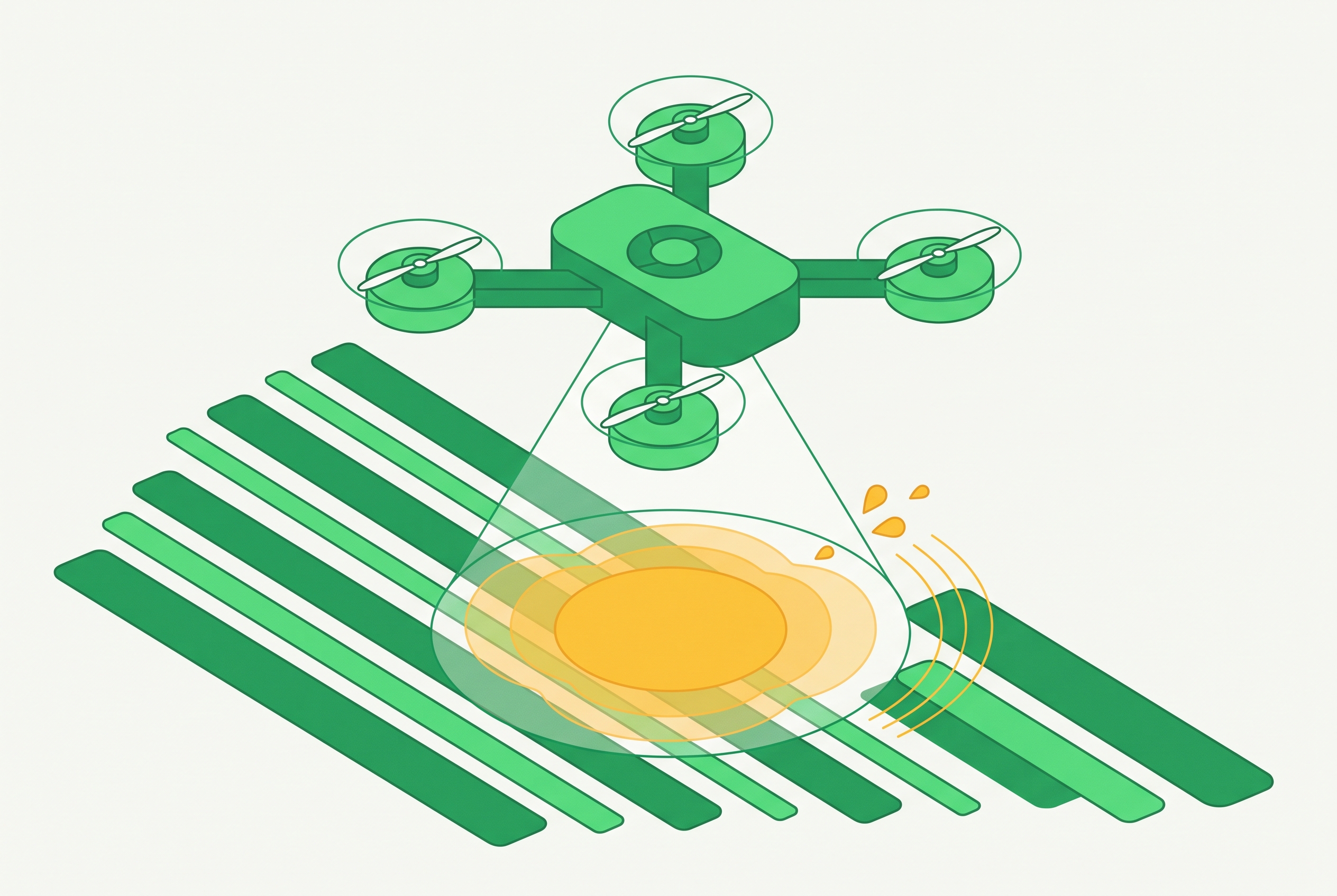
This is where autonomous decision-making connects back to the spatial decomposition layer described earlier: task allocation. Coalition formation games, consensus-based bundle algorithms (CBBA), and game-theoretic conflict resolution are the dominant mathematical frameworks for assigning subregions to individual agents, and they do it dynamically, adjusting as conditions on the ground change. Research on adaptive cooperative coverage search using area dynamic sensing shows this loop working in practice: onboard sensing feeds directly into coverage decisions mid-mission, and the swarm reallocates effort toward areas that sensing shows are under-covered.
Federated learning is an emerging piece of this same puzzle. Instead of sharing raw sensor data or complete trained models across the swarm, each drone trains a model locally onboard and shares only the parameters now and then, so the group keeps one evolving global model through light updates sent over secure channels. That approach matters most precisely in the GPS- or signal-denied conditions where full data sharing isn't an option.
MARL's biggest weakness is the gap between simulation and the real world. Results that look strong in simulated training frequently fail to hold up in field tests, and only a small number of research groups have shown real-time outdoor coordination working with more than a handful of flying agents at once. That gap, not the design of the algorithms themselves, is the central open problem facing this layer. Hybrid architectures offer one practical answer: using MARL to handle local, adaptive decisions while falling back on deterministic, hand-coded rules for safety-critical actions, so the mission doesn't depend entirely on a simulation-trained policy behaving correctly the first time it meets conditions it never saw in training.
Where deployments break at the seams between layers
Deployments rarely fail because one layer collapses on its own. They fail at the seams between layers, where the handoff from one system to the next was never fully specified. CSMN illustrates this directly: its switch between the silent mode and the coordinated leader-follower mode is a deliberate interface between the communication layer and the decision-making layer, not an afterthought bolted on. When that interface functioned as designed, mission time dropped and the collision rate fell to zero. When it did not, localization error ran more than an order of magnitude worse, which is the clearest evidence available that the interface between layers, not either layer alone, is what determined the outcome.
SwarmRaft makes the same point from a different angle. It was tested across bridge inspection and agricultural spraying, two scenarios chosen because they load all three layers at once: GNSS denial removes a drone's primary source of position data, and a dynamic weight change, drones growing lighter as they dispense chemical payload, shifts flight dynamics mid-mission in ways the plan has to absorb. The consensus-positioning approach held spatial awareness through that stress because it tightened the feedback loop between communication and decision-making, rather than treating them as separate systems that happen to run on the same drone.
Some of what gets called a swarm deployment in public is not a test of any of this. Sky shows and a number of security demonstrations rely on centralized control, preset tasks, and constant human supervision, so they have no peer-to-peer communication and no self-coordination onboard. Those systems were never built to test coordination in the first place, so they are poor benchmarks for what coordination protocols can do.
The scalability ceiling is real and still only partly understood. Analysis shows diminishing returns once the swarm passes a modest number of agents: bandwidth overhead from distributed state estimation grows, communication latency stacks up, and positioning error compounds in ways that don't scale in a straight line and have not been fully mapped at large swarm sizes. Hardware-enforced semantic coordination is one response to this: independently designed software layers interacting under hard real-time constraints produce race conditions and timing failures, and enforcing protocol semantics at the hardware level prevents them. None of this is a reason to treat swarm coordination as unsolved in principle. It's a reason to treat the interfaces between layers as something that needs explicit, deliberate design, the same as any one layer does on its own.
The Protocol Stack for Reliable Large-Area Survey
A deployment that handles all three layers, and manages the handoffs between them, is achievable with methods that already exist today. What it requires is a deliberate architectural choice at each layer, rather than defaulting to whichever paradigm is easiest to implement first.
At the partitioning layer, capability-aware convex decomposition with terrain-segmentation input is the strongest available method where satellite imagery of the survey area exists. If the environment is likely to change during the mission itself, default to adaptive coverage search that incorporates live sensing data, since it was built to handle a map that shifts mid-flight.
At the communication layer, hierarchical clustering should govern normal operations, since it limits the number of channels the system needs and builds in master-promotion as a natural repair path. Consensus-based fallback, following the model SwarmRaft demonstrates, should be built in from the start for GPS-denied or degraded-link conditions. Authentication deserves attention specifically at the point of cluster handover, when a slave drone is promoted or reassigned, not only at the start of the mission when the system is easiest to secure.
At the decision-making layer, the right framework depends on how predictable the environment is. Bio-inspired flocking suits large, open areas with few obstacles, where it favors scalability over fine-grained optimization. MARL policies suit structured environments with known obstacle classes, where a trained policy can anticipate what it will meet. Federated learning suits long-duration missions, where onboard models have the time and the opportunity to keep improving over the course of the work rather than staying fixed at whatever state they were in at launch.
Treated as three separate purchasing decisions, hardware, a radio link, and an onboard algorithm, large-area survey does not scale. Treated as one stack, with the interfaces between layers designed as carefully as the layers themselves, it does.
Sources
- Innovations in Drone Swarm Technology
Provided the breakdown of patent sub-domains and the description of Anduril Industries' dynamic task-based assignment with failure-recovery mechanism.
- Multi-UAV adaptive cooperative coverage search method based on area dynamic sensing
Provided the basis for the discussion of adaptive cooperative coverage search using area dynamic sensing feeding into mid-mission coverage decisions.
- A distributed coverage path planning framework for autonomous unmanned aerial vehicle (UAV) swarms - ScienceDirect
Provided detail on distributed coverage path planning frameworks and swarm-adapted strategies such as Parallel, Square, LMAT, and SCAN for generating flight paths within subregions.
- Beyond Coverage Path Planning: Can UAV Swarms Perfect Scattered Regions Inspections?
Provided the discussion of scattered or non-contiguous survey zones where uniform grids fail and partitioning must generate subpaths for disconnected regions.
- SwarnRaft: Leveraging Consensus for Robust Drone Swarm Coordination in GNSS-Degraded Environments
Provided the SwarmRaft system details including crash-tolerant consensus positioning for GNSS-degraded environments and the dynamic weight change scenario in agricultural spraying.