Autonomous Soil Sampling Robot Deployments
Robots overcome labor and terrain limits in soil sampling across agriculture, carbon credits.
Autonomous soil sampling robot deployments involve a distinct set of decisions (navigation approach, sampling strategy, sensor integration, and field constraints) that shape whether a system delivers actionable soil data at scale. What follows is a look at how these tradeoffs actually play out in the field.
Density limits of hand sampling in autonomous soil sampling
Soil sampling done by hand has a math problem baked into it. Farms across the U.S. Corn Belt and the Canadian Prairies routinely run past 2,000 acres, and getting a technician to walk that ground with a hand probe at anything resembling useful spatial density stops making financial sense fast. The labor cost alone would swallow whatever value the data provides, so growers either under-sample or skip it.
Terrain adds a second problem that acreage alone doesn't capture. At a Populus bioenergy site in Clatskanie, Oregon, a hydraulic soil sampler turned out to be too bulky for the row spacing on site, forcing sample collection on foot instead of by vehicle. That's not a labor cost issue; it's a geometry issue, since no amount of staffing fixes a sampler that physically doesn't fit between the rows.
Soil organic carbon measurement piles a third layer of difficulty on top. Carbon credit verification and SOC measurement require audit-proof, georeferenced data at depth, and the scale of demand is illustrated by programs such as Agoro Carbon's, which spans 2.5 million acres across 34 states involving more than 600 producers. Manual methods simply aren't built for that cadence.
The range of deployment contexts robots are being asked to serve
Three distinct industries have picked up autonomous soil sampling for three different reasons, and it's worth being clear that they're not converging on one design.
Precision agriculture is the largest and most mature of the three. Robotic sampling lets growers increase sample density well past what manual crews could manage, which sharpens the accuracy of variable-rate fertilizer maps; the segment held 38.2% of the global soil testing robot market in 2024. Carbon credit verification is newer but growing fast, and its demands are different: it needs georeferenced data at depth that will hold up to an audit. Agoro Carbon's program gives a sense of scale here, running across 2.5 million acres in 34 states with more than 600 producers enrolled.
Environmental remediation is the third vertical, and it's arguably the one where automation matters most, since it often means sending a machine into a site a person would rather not walk. Robots here log GPS coordinates, sampling depth, and lab results together, then run algorithms to pick the next sampling spot based on what the last one found. SK Godelius in Chile builds specifically for this: tailings dam assessments, contamination evaluation, remediation planning, forestry work.
Each vertical bends the robot toward different priorities. Fertilizer management wants throughput and a clean pipeline into a lab. Carbon verification wants depth accuracy and a data trail nobody can poke holes in. Remediation wants a machine that can get into rough or hazardous terrain and, ideally, analyze on the spot. The mobile soil testing robot segment led the global market in 2024, accounting for 65.5% of total share. Portability is the direction the whole category is moving.
Platform design: build, collection mechanism, and size tradeoffs
Platform size is mostly a function of payload and row spacing, and the tradeoffs are blunt. Large UTV-scale machines, like ROGO's system built on a Bobcat skid steer, can carry deep coring tools and heavier payloads, which suits open agricultural fields where there's no row to squeeze between; ROGO samples down to a meter, including bulk density and split-depth cores. Mid-size UGV platforms, such as the Clearpath Robotics Husky A200, trade some payload for a compact width that makes them suitable for navigating between tight crop rows.
Smaller purpose-built robots go further down that same curve: shallower samples, smaller sample volumes, but the option to run several units at once across a field. Crawler/tracked platforms are typically larger, cited at 120–160 cm in length and width, and are used in higher-load extraction applications.
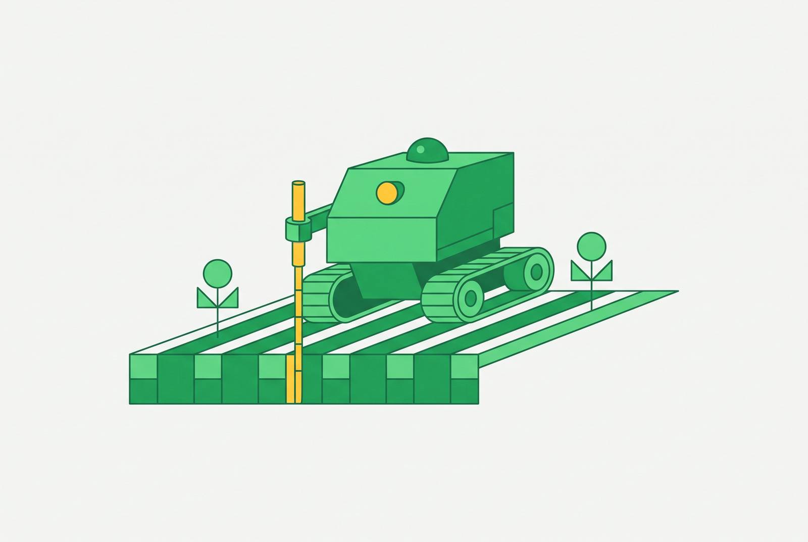
The collection mechanism is a separate design layer that sits on top of whatever chassis is chosen, and it matters just as much. Extraction rods, essentially probes that impale the soil and pull a plug back out, dominate commercial systems; both ROGO and Godelius build around them, and while they work well in agricultural soil, they need to avoid rocks and other obstructions or the hardware takes the damage. Auger-based systems, metal drill-shaped tools lowered by microcontroller at defined GPS waypoints, were the choice for ORNL's SMART Plant F-Series, and they suit jobs where the sampling depth must be precisely controlled, even at the cost of speed. A third approach skips sample removal altogether: MoistureMapper uses a direct-push drill to place a TDR sensor waveguide into the soil, take its reading, and pull the sensor back out, with nothing physically leaving the ground.
Agrobot Lala samples from 30 cm depth, anchors to 15 cm, and can apply penetration force up to 720 N. The ORNL/IEEE study notes that soil extraction exceeding 15 cm typically requires bulky robotic platforms, a design constraint that directly shapes platform selection for carbon or deep nutrient sampling.
Navigation: how robots find their way across a field and decide where to sample
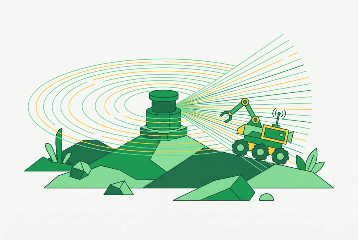
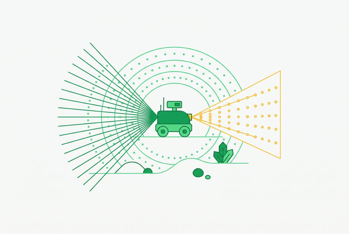
RTK GPS is the backbone of navigation across nearly every commercial system in this space. ROGO's machines use RTK-level positioning to steer, accelerate, and brake themselves to each individual sampling point, with accuracy the company puts at around an inch in both depth and location. ORNL's SMART Plant F-Series used RTK positioning, which incorporates surveying principles to correct common global positioning errors, together with LiDAR for obstacle avoidance around plants. LiDAR serves as a complementary layer, helping robots dodge obstacles in structured crop environments without disturbing plants, which matters when GPS alone cannot resolve ground-level obstructions.
Where systems really diverge is in how they decide where to sample in the first place, and there are two philosophies at work. The first is pre-planned: cloud software chews through satellite imagery with an AI algorithm ahead of time, divides the field into zones, and hands the robot a fixed list of waypoints designed to cut the total sample count without losing coverage. Agrobot Lala runs this way. The second is adaptive, where the robot updates its own plan as it goes. MoistureMapper builds a live spatial model of soil moisture using Gaussian Process methods and picks its next stop based on where the model is least confident, a strategy that beat a simple greedy approach by cutting travel distance up to 30% and reducing variance in the final moisture map by about 5%. Remediation systems run a third variant of adaptive logic, choosing the next sampling location based on what the last chemical analysis found rather than any spatial statistic. Pre-planning gives predictability and easier mission scheduling; adaptive sampling gives better information per mile driven. Which one wins depends entirely on what the mission needs.
Sensor integration: what robots measure and the method they use to measure it
Sensing in this category splits into three approaches: pulling a physical soil core for lab analysis later, passive sensing, and in situ sampling, where a sensor goes into the ground, takes its reading, and comes back out without anything leaving the soil. Which one a system uses depends heavily on what it's trying to measure.
Soil moisture gets measured with Time Domain Reflectometry sensors. MoistureMapper deploys TDR waveguides through its direct-push drill, and notably, no earlier published work had put TDR sensors on a ground robot for autonomous moisture mapping before this system did it. Soil organic carbon runs on near-infrared spectroscopy in the SOC/Respiration Robot, a fully automated in situ platform that cleans the surface, drills, collects and homogenizes a sample, runs the spectroscopy, and measures soil respiration through a chamber, all in one pass. Nitrates get read electrochemically. Agrobot Lala does this in situ, with results back in around 30 minutes. Chloride and heavy metals, the concern in contamination work, get measured with portable X-ray fluorescence; one environmental characterization platform validated its pXRF chloride readings against lab results and found a strong linear relationship, R² of 0.861, statistically significant at p = 0.003. For a broader read on soil condition, moisture, salinity, porosity, organic matter, bulk density, and texture, some systems fall back on soil electrical resistivity as an indirect stand-in.
Sample mass consistency turns out to be its own quality signal, and the ACFR system out of the University of Sydney illustrates why. The ACFR (University of Sydney) system, working a pasture farm, targeted 30–50 grams per sample and averaged 45.2 grams, with lab processing averaging about 544.6 seconds (approximately 9 minutes) per sample. A machine that reliably hits its target mass is a machine whose lab results downstream can actually be trusted and compared across sites.
All of this comes down to one tension. In situ sensing is fast and skips the step of hauling a sample anywhere, but physical collection followed by lab analysis gives broader analytical range and holds up better when the data needs to survive an audit, which matters enormously for carbon credit programs and regulatory filings. Neither approach is universally better. Speed favors one approach; a paper trail favors the other, and the right choice depends on which the deployment needs.
Field constraints that determine whether a deployment succeeds or fails
Terrain decides whether any of this works. Flat, open ground is manageable for most platforms, but steep slopes threaten traction and can tip a machine over, and slippery mud, dust, boulders, standing water, and smaller debris like rocks and underbrush all demand handling that adds cost and complexity to the build.
Row spacing is less forgiving than terrain because it's a hard geometric limit, not a matter of degree. When rows run tighter than a meter apart, a vehicle simply cannot get through, a lesson the ORNL Clatskanie deployment made plain. Dense row spacing less than a meter may preclude vehicle entry entirely, a finding from the ORNL Clatskanie deployment, making the Husky A200's compact 79.6 cm width a functional requirement rather than just a preference.
Rock obstruction is a narrower but persistent failure mode, specific to probe and rod-based collection. A rod that hits a rock instead of soil either damages itself or returns a useless core, so systems built around extraction rods need some way to detect and steer around subsurface obstacles, and this remains a known weak point of the design.
Battery life sets the final ceiling. Agrobot Lala runs approximately 3 hours on a charge, a realistic planning constraint for large fields that requires either battery swaps, recharge infrastructure, or multi-unit deployment. Covering serious acreage on that budget means battery swaps, charging infrastructure staged across the site, or running multiple units in parallel, and any deployment plan that skips this math will run short in the field.
Six systems in practice: what each deployment reveals about the tradeoffs
ROGO is at the commercially mature end of the spectrum. Built on a Kubota UTV with RTK-level GPS, it steers, accelerates, and brakes itself to each core location without a driver. It samples with an extraction rod/probe to depths up to 1 meter, including bulk density and split-depth samples, tags samples with QR-code tracking, and runs on automatic field settings. ROGO positions itself as soil sampling as a service for agronomists, working with more than 25 labs and partnering with groups including Central Valley Ag, Mercer Landmark, Growmark, and Nutrien agronomists. It's built for precision fertilizer work and auditable carbon measurement, and the whole package reflects what a mature commercial pipeline looks like: big platform, deep cores, an established lab relationship on the back end.
Agrobot Lala is built on the Clearpath Robotics Husky UGV, at 990 × 670 × 390 mm, 50 kg, with a maximum payload of 75 kg, a maximum speed of 1.0 m/s, and about 3 hours of autonomy, carrying a custom soil sampling and analysis module. It samples to 30 cm depth, anchors at 15 cm, applies up to 720 N of penetration force, and uses in situ electrochemical nitrate sensing taking about 30 minutes. Its navigation runs on pre-planned zones drawn from satellite imagery and an AI districting algorithm rather than adaptive, on-the-fly routing. What it shows, mostly, is what on-board lab capability costs in terms of speed: real-time chemistry is possible on a small robot, but it comes at the price of throughput.
The ORNL SMART Plant F-Series is built on a Clearpath Husky A200. It measures 199 cm long, 79.6 cm wide, and 132 cm tall with collection hardware installed, uses 3D-printed components, and runs ROS-based software. It navigates by RTK to hit GPS waypoints and leans on LiDAR to avoid plants along the way. Sampling happens with a slide hammer soil core sampler at 15 and 30 cm depths, with SOC analysis run after subsamples are processed. Between ROGO's large UTV-scale platform built on a Bobcat skid steer that samples to depths of up to 1 meter including bulk density and split-depth samples, Agrobot Lala's compact chemistry on the Husky base, and the ORNL/IEEE mid-size UGV platform built for navigating tight crop rows, no single design wins across every job, because the terrain, the target analyte, and the tolerance for waiting on lab results all pull the engineering in different directions. The mobile soil testing robot segment led the global market in 2024, accounting for 65.5% of total share https://market.us/report/soil-testing-robot-market/. The precision agriculture segment held 38.2% share of the global soil testing robot market in 2024 https://market.us/report/soil-testing-robot-market/. Across 34 states, Agoro Carbon's soil carbon program spans 2.5 million acres https://carbonherald.com/agoro-carbon-issues-first-soil-carbon-credits-under-microsoft-agreement/. Agoro Carbon's soil carbon program involves operations across 34 states https://carbonherald.com/agoro-carbon-issues-first-soil-carbon-credits-under-microsoft-agreement/. Agoro Carbon's program involves more than 600 producers https://carbonherald.com/agoro-carbon-issues-first-soil-carbon-credits-under-microsoft-agreement/. A robotic platform deployed to characterize salt-impacted oil & gas reserve pits showed a good linear relationship (R² = 0.861) between in situ robot chloride measurements and laboratory-based measurements https://pubmed.ncbi.nlm.nih.gov/38772232/. The correlation between robotic in situ chloride measurements and laboratory-based measurements was statistically significant (p = 0.003) https://pubmed.ncbi.nlm.nih.gov/38772232/. ROGO has worked with 25+ labs across the country https://rogoag.com/services-2. As of 2024, ROGO offers bulk density sampling at depths of up to 1 meter https://rogoag.com/how-rogo-works. The Agrobot Lala UGV platform measures 990 × 670 × 390 mm https://pmc.ncbi.nlm.nih.gov/articles/PMC9185546/. The Agrobot Lala UGV platform weighs 50 kg https://pmc.ncbi.nlm.nih.gov/articles/PMC9185546/. The Agrobot Lala UGV platform has a maximum payload of 75 kg https://pmc.ncbi.nlm.nih.gov/articles/PMC9185546/. The Agrobot Lala UGV platform has a maximum speed of 1.0 m/s https://pmc.ncbi.nlm.nih.gov/articles/PMC9185546/. The Agrobot Lala UGV platform typically has 3 hours of autonomy https://pmc.ncbi.nlm.nih.gov/articles/PMC9185546/. The Agrobot Lala can take samples from 30 cm depth https://pmc.ncbi.nlm.nih.gov/articles/PMC9185546/. The Agrobot Lala can anchor to 15 cm depth https://pmc.ncbi.nlm.nih.gov/articles/PMC9185546/. The Agrobot Lala provides penetration force of up to 720 N https://pmc.ncbi.nlm.nih.gov/articles/PMC9185546/. The ACFR System was tested on a 50,000 m² pasture farm https://arxiv.org/html/2506.05653v3. The ACFR Sample Acquisition System can consistently acquire soil samples with a mass of 50g at a depth of 200mm https://arxiv.org/abs/2506.05653. The average mass of ACFR soil samples was 45.2 grams https://arxiv.org/html/2506.05653v3. Average ACFR sample processing and analysis time was 544.6 seconds https://arxiv.org/html/2506.05653v3. ACFR sample processing and analysis took approximately 9 minutes on average https://arxiv.org/html/2506.05653v3. The Clearpath Robotics Husky A200 UGV with soil collection system measured 199 cm long https://www.osti.gov/pages/servlets/purl/3030892.
Sources
- Design and Integration of a Compact Mobile Outdoor Soil Sampling Agricultural Robot
- Harvesting plant data with robotics, sensors and advanced computing | ORNL
- MoistureMapper: An Autonomous Mobile Robot for High-Resolution Soil Moisture Mapping at Scale
- Agrobot Lala—An Autonomous Robotic System for Real-Time, In-Field Soil Sampling, and Analysis of Nitrates
- pubmed.ncbi.nlm.nih.gov
- Design and Integration of Autonomous Robotic Platform for In Situ Measurement of Soil Organic Carbon and Soil Respiration
- Towards Autonomous In-situ Soil Sampling and Mapping in Large-Scale Agricultural Environments